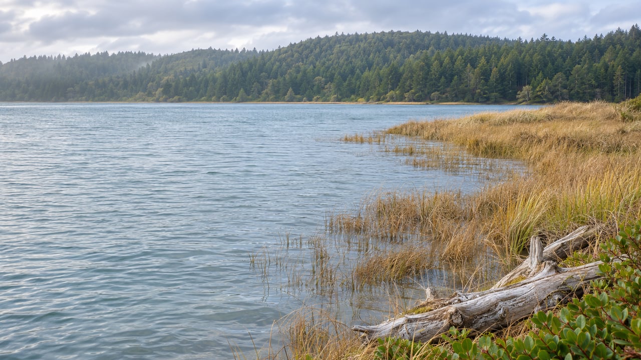
Last November, the first king tides of the season arrived along with a powerful storm. Between them they left the Netarts boat ramp and dock "an absolute mess," as the Tillamook County Pioneer reported. County park staff pulled more than five dump-truck loads of sea grass and debris out of the ramp area by Friday, November 7. The dock had broken into three pieces, and one section was pushed up into the bank so hard that a crane from Burden's Towing had to lift it out. Sexton Construction of Lincoln City had it repaired by the end of Monday, November 10, for close to $10,000.
That was the storm and the tide working together. This year the tides themselves are the easier part to plan, because the calendar is very convenient. The highest water of each official king tide window at Netarts Bay comes in daylight, between about 10 a.m. and 2 p.m. One of those highs comes at lunchtime on Thanksgiving, and the top tide of the whole season comes at noon on Christmas Eve. That makes the year's biggest tides something you can do with houseguests between breakfast and dinner, with no flashlight needed.
The midday tide is the one to plan around
Each fall, staff at the Oregon Coastal Management Program, part of the state Department of Land Conservation and Development, pick a set of dates from the highest predicted winter tides. Volunteers then photograph those tides from safe distances. According to Oregon Shores, the 2026–27 windows are November 23 to 27, December 22 to 26, and January 20 to 24, 2027.
NOAA's prediction station for Netarts Bay, number 9437262, shows how lopsided these days are. On king tide days the bay has two high tides. The one after midnight runs close to 6 feet. The midday one runs more than 2 feet higher. On Thanksgiving, for example, the 2:18 a.m. high is predicted at 6.00 feet and the 1:02 p.m. high at 8.30 feet. For an ordinary comparison, the afternoon high NOAA predicted for Netarts on November 14 was 6.09 feet.
These are NOAA's predicted daytime highs for each window. Times are Pacific Standard Time, and heights are feet above mean lower low water, the baseline NOAA uses for its tide predictions.
| Date | Daytime high | Predicted height |
|---|---|---|
| Mon, Nov 23 | 10:49 a.m. | 7.97 ft |
| Tue, Nov 24 | 11:30 a.m. | 8.27 ft |
| Wed, Nov 25 | 12:14 p.m. | 8.38 ft |
| Thu, Nov 26 (Thanksgiving) | 1:02 p.m. | 8.30 ft |
| Fri, Nov 27 | 1:53 p.m. | 7.98 ft |
| Tue, Dec 22 | 10:20 a.m. | 8.30 ft |
| Wed, Dec 23 | 11:11 a.m. | 8.56 ft |
| Thu, Dec 24 | 12:02 p.m. | 8.64 ft |
| Fri, Dec 25 | 12:54 p.m. | 8.50 ft |
| Sat, Dec 26 | 1:47 p.m. | 8.10 ft |
| Wed, Jan 20 | 10:06 a.m. | 8.21 ft |
| Thu, Jan 21 | 11:03 a.m. | 8.44 ft |
| Fri, Jan 22 | 11:57 a.m. | 8.48 ft |
| Sat, Jan 23 | 12:50 p.m. | 8.28 ft |
| Sun, Jan 24 | 1:42 p.m. | 7.83 ft |
The daytime high comes about 45 minutes to an hour later each day, so if you miss Monday's tide before work you can catch Friday's after lunch. The November peak falls on the day before Thanksgiving and the December peak on Christmas Eve, while January's comes on Friday, January 22. NOAA notes that its predictions use the latest information available when you request them, so check the Netarts Bay tide predictions the morning you go.
Around Netarts Bay, the hatchery and the boat basin
The state keeps an archive of past king tide photos, and its Netarts entries cluster in a few places worth knowing. There are photos from January 1, 2014 taken along Netarts Bay Road, at the Netarts Bay fish hatchery and at Cape Lookout State Park. One entry from the 2016–17 season, taken on Whiskey Creek Road, notes that water from Netarts Bay and Whiskey Creek nearly reached the fish hatchery building. Other entries from the same set show the boat basin road and the boat ramp.
Those earlier photos are useful for this year. If you stand at the same spot, the hatchery, the ramp or a pullout on Netarts Bay Road, and shoot in the same direction, your picture lines up with ones taken a decade ago. That kind of side-by-side comparison is what the project exists to build. The boat basin is also where people launch boats and kayaks into the bay the rest of the year, so it is a handy reference for how far the water climbs.
To the south, Cape Lookout State Park is only partly open this winter. Its day-use area, campground and hiker-biker camp closed for construction on August 3, 2026, and Oregon State Parks expects the work to continue through spring 2027. The Cape Trailhead parking lot and the Cape Trail and South Trail remain open. If you planned to watch from the day-use beach, use the trailhead instead.
Oceanside, the tunnel and the view from Cape Meares
Oceanside Beach State Recreation Site is open for day use year-round. Its beach access runs through the tunnel at Maxwell Point. Offshore is Three Arch Rocks National Wildlife Refuge, which you watch from shore. It is seabird habitat and a place where sea lions have their pups. Since the tunnel is the way down to the beach, the parking area makes an easier place to watch around the midday peak.
Cape Meares State Scenic Viewpoint gives you the long view south toward Oceanside and Three Arch Rocks. The lighthouse is closed for winter, but the grounds stay open. The 0.1-mile walk to the Octopus Tree and the 0.2-mile paved path past the viewpoints are both short enough for relatives who would rather not hike in December.
Cape Meares also has the best pairing of the season. Oregon Shores is hosting a free "Searching for Spouts" whale watch gathering there on Wednesday, December 23, from 3 to 4:30 p.m., with no registration required. That day's king tide peaks at 11:11 a.m. at Netarts. You can watch high water on the bay before lunch, eat, and drive up the cape to look for gray whales in the afternoon. Cape Meares is also one of the stations where Oregon State Parks posts volunteers for its December Whale Watch Week.
Adding your photos to the record
The Oregon King Tides Project gathers its photos through an online form that works from a phone in the field. Posts on social media do not go into the long-term photo library, so a great shot on Instagram is not part of the record unless you also submit it through the form. The form asks for the location, the direction you were facing, the date, what the photo shows, a caption and a tide category. It also asks for your email and permission to use the photo. This season the project is focusing on coastal flooding, erosion and wave action, and bays and estuaries. Netarts Bay is a Tillamook County estuary, so it fits the third category directly. There is also a category for photographers under 18, with a guardian's permission. If a grandchild is visiting over Thanksgiving with a new phone, that is a good afternoon project for them.
Oregon Shores' organized king tide watch parties this season are at Seaside, the Peter Iredale, Cape Perpetua and Yaquina Head. Around Netarts and Oceanside you can photograph on your own, and the same form takes your pictures either way.
Volunteers photograph from safe distances, and Oregon State Parks spells out why. Sneaker waves can knock an adult off their feet. Logs in the surf or on wet sand can roll without warning. Parks asks visitors to know when the tide is coming in and to take extra care during extreme tides and storms. A king tide day fits that description, so stay off the logs and keep your back to the parking lot, not the ocean.
Lunch after the tide
The tide is highest around midday, so you will be looking for food just as the water starts to drop. Roseanna's Cafe at 1490 Pacific Avenue in Oceanside lists its hours as Wednesday through Sunday, 11 a.m. to 8 p.m., closed Monday and Tuesday. That covers most of the November and December window days, but holidays can change any restaurant's schedule, so call ahead before you plan Thanksgiving or Christmas Eve around it. In Netarts, the Schooner Restaurant & Lounge is on Netarts Basin Boat Road by the boat basin, so lunch there is only a short walk from where you watched the tide.
For more on the towns themselves, our Netarts and Oceanside pages cover the area beyond the beach.
If you get a good king tide photo from the hatchery, the ramp or the bluff at Oceanside this season, I'd love to see it once it's in the project. I spend as much time as I can along North Coast rivers and bays, and comparing how high the water climbed from one year to the next is one of my favorite winter conversations. Reach out to Todd Braden anytime. Let's Connect.